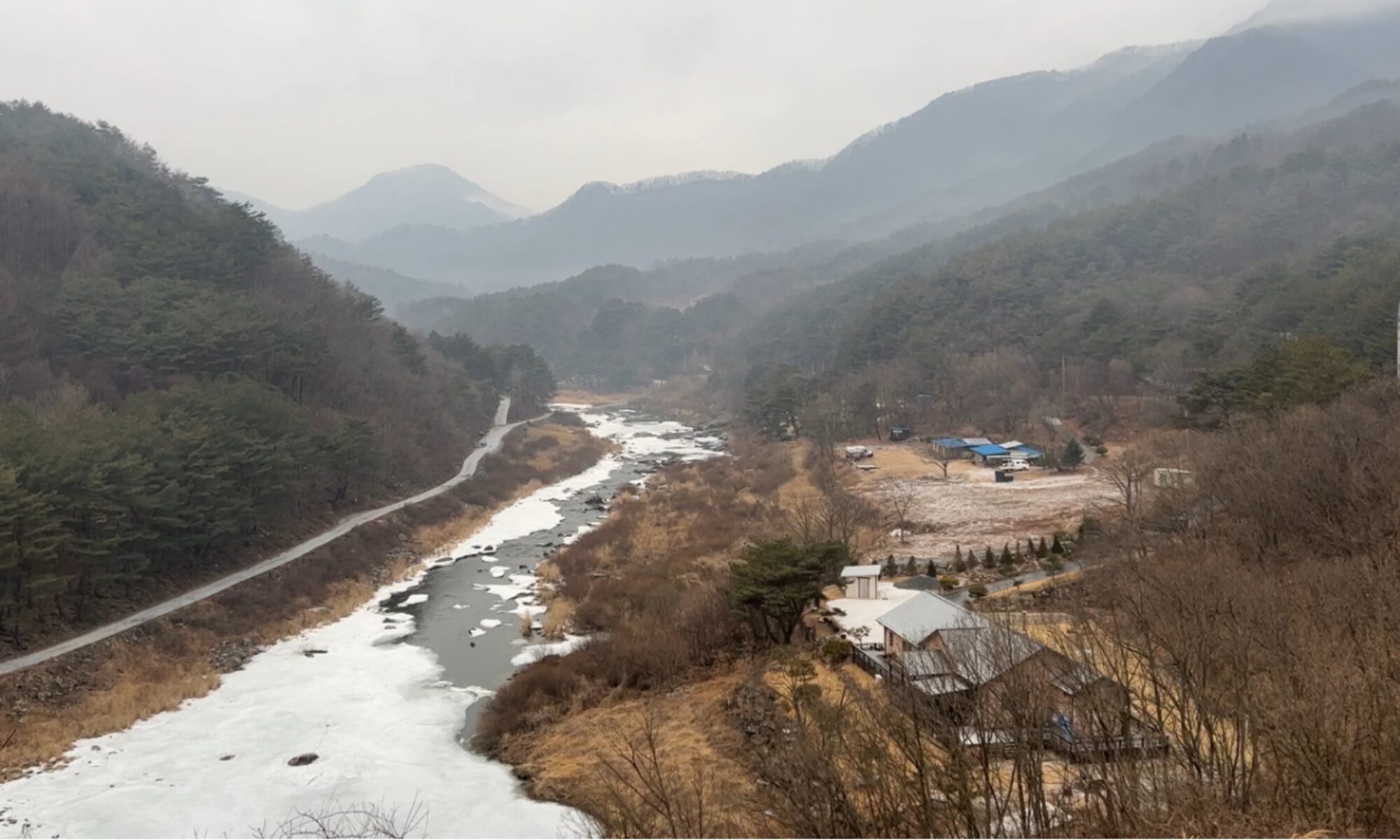
We are pleased to announce that our paper, “Effects of Relief on Headwater Catchment (최상류 유역) Landscapes“, submitted to Geomorphology was accepted for publication on August 9.

The accepted paper constitutes the first chapter of the doctoral thesis of Dr. Hui Chen, who is currently a postdoctoral researcher at the Guangzhou Institute of Geography, Guangdong Academy of Sciences, China. I sincerely appreciate his continued efforts in updating his thesis work to address the requests of anonymous reviewers, which has led to substantial improvements in the final version. The abstract of the article is below:
Headwater catchments, comprising hillslopes, valley heads, and colluvial valleys, are critical sources of water, sediments, and nutrients for downstream river networks. As mass movements dominate these landscapes, topographic relief has long been recognized as a primary factor controlling geomorphic processes and the spatial arrangement of geomorphic units in headwater catchments. However, how the transition from hillslope- to channel-dominated processes varies with relief remains debated. Particularly, the ways in which valley head location—defined as the uppermost tip of an unchanneled valley—and the lower boundaries of headwater catchments—defined by the downstream limit of colluvial dominance—scale with relief are not fully understood. To address these questions, we analyzed a drainage basin in South Korea that spans a wide range of relief. We delineated valley heads and headwater catchment extents, and quantified the likelihoods of hillslope materials reaching both valley heads and downstream river network. Our results reveal that valley heads shift downslope with increasing relief and that the lower boundaries of colluvial channels extend downstream, enlarging headwater catchments. Likewise, both likelihoods of sediment connectivity increase with relief. These findings demonstrate that both valley head position and headwater catchment extent are governed by relief through its effects on hillslope material supply, colluvial valley morphology, and debris flow transport. Notably, the observed positive correlation between valley head source area and relief challenges the stream power-based channel initiation model, which exhibits a negative slope-area relationship. This study advances understanding of geomorphic processes in headwater landscapes and provides insights for managing mountainous environments.

